Services
- Home
- Services
Services
Enhance. Streamline. Optimize.
We integrate every aspect of your project into a single platform, ensuring improved collaboration, reduced errors, and better efficiency.
Design-Build
Lorem ipsum dolor sit amet, consectetur adipiscing elit. Ut elit tellus, luctus nec ullamcorper mattis, pulvinar dapibus leo.
Home Building
Lorem ipsum dolor sit amet, consectetur adipiscing elit. Ut elit tellus, luctus nec ullamcorper mattis, pulvinar dapibus leo.
Office Building Construction
Lorem ipsum dolor sit amet, consectetur adipiscing elit. Ut elit tellus, luctus nec ullamcorper mattis, pulvinar dapibus leo.
House Renovation
Lorem ipsum dolor sit amet, consectetur adipiscing elit. Ut elit tellus, luctus nec ullamcorper mattis, pulvinar dapibus leo.
Construction Consulting
Lorem ipsum dolor sit amet, consectetur adipiscing elit. Ut elit tellus, luctus nec ullamcorper mattis, pulvinar dapibus leo.
Specialized Construction
Lorem ipsum dolor sit amet, consectetur adipiscing elit. Ut elit tellus, luctus nec ullamcorper mattis, pulvinar dapibus leo.
Scan to BIM
Transforming Reality into Digital Precision
At TriD Technologies, we specialize in Scan to BIM (Building Information Modeling) solutions that bring unmatched accuracy and efficiency to your construction and architectural projects. Using advanced 3D laser scanning technology, we capture existing building conditions and convert them into intelligent, data-rich BIM models.
Scan to BIM is the process of converting point cloud data—collected from 3D laser scans—into a digital Building Information Model. This allows architects, engineers, and contractors to visualize, analyze, and manage projects with precise, real-world data.
It eliminates guesswork, reduces errors, and ensures every decision is backed by reliable information.


Scan to 3D CAD
Transform Physical Objects into Precise Digital Models
At TriD Technologies, we specialize in Scan to 3D CAD conversion services that help you turn real-world objects into accurate, editable, and production-ready CAD models. Whether you need to reverse-engineer a part, upgrade legacy components, or create design modifications, our advanced scanning and CAD modeling process ensures precision, speed, and reliability.
Scan to 3D CAD is the process of using 3D scanning technology to capture the exact dimensions and geometry of a physical object, and then converting that data into a 3D CAD model. This model can be used for:
Reverse engineering
Product development
Quality inspection
Digital archiving
Rapid prototyping
Scan to 2D & Topography Survey
Transforming Reality into Digital Precision
At TriD Technologies, we provide precise Scan to 2D and Topography Survey services to help architects, engineers, and construction professionals capture accurate site data and convert it into clear, usable drawings. Whether you need detailed topographic maps for planning or 2D CAD drawings from 3D scans, our solutions are designed to deliver efficiency, accuracy, and reliability.
Scan to 2D is the process of converting 3D laser scan data into 2D CAD drawings. This service is ideal for renovation, retrofitting, or documentation projects where traditional plans are unavailable or outdated.
Accurate floor plans, elevations, and sections
Quick turnaround for architectural and engineering needs
Clear documentation for approvals and redesigns


GIS & Remote Sensing
Unlocking Insights Through Advanced Geospatial Technology
At TriD Technologies, we specialize in harnessing the power of Geographic Information Systems (GIS) and Remote Sensing to provide accurate, reliable, and innovative geospatial solutions. These technologies help transform raw data into actionable insights for businesses, governments, researchers, and communities.
Geographic Information System (GIS) is a digital framework that captures, stores, analyzes, and visualizes spatial and geographic data. It allows organizations to see patterns, relationships, and trends through maps, dashboards, and interactive models.
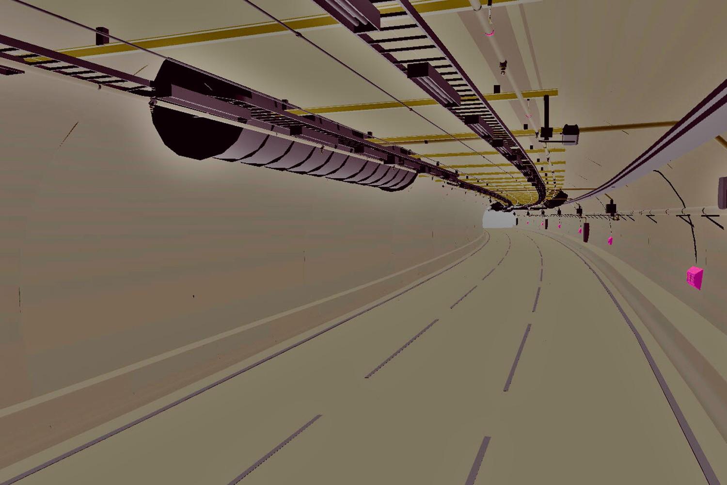
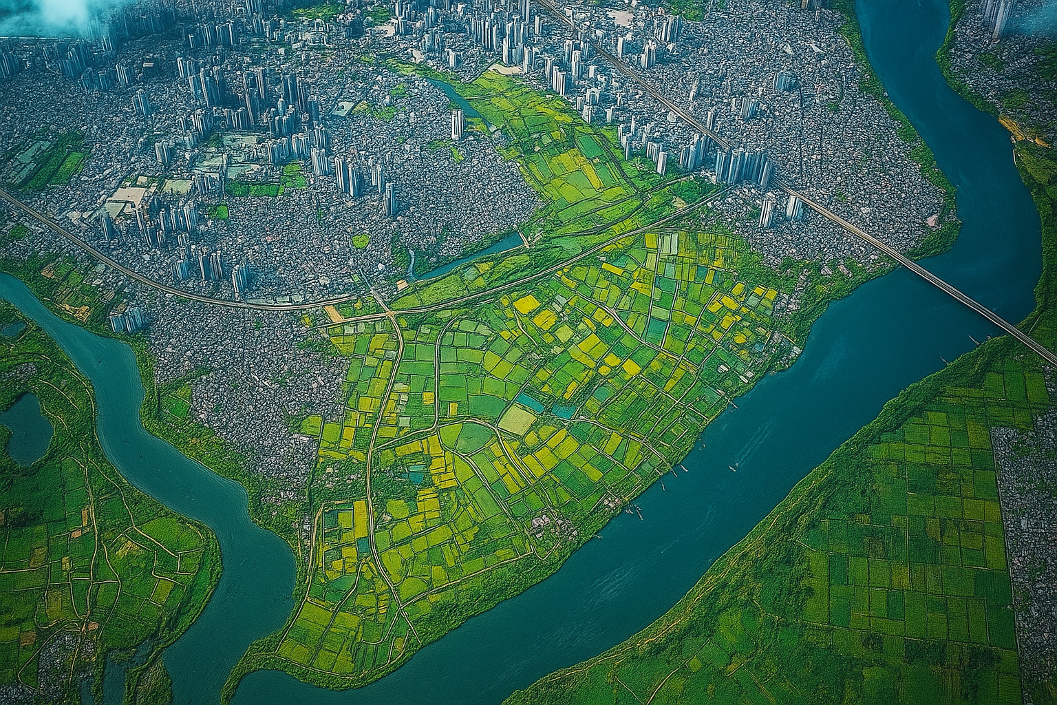
Remote Sensing is the process of collecting information about the Earth’s surface without direct contact, using satellite imagery, drones, and aerial sensors. It enables monitoring of large areas quickly and efficiently.
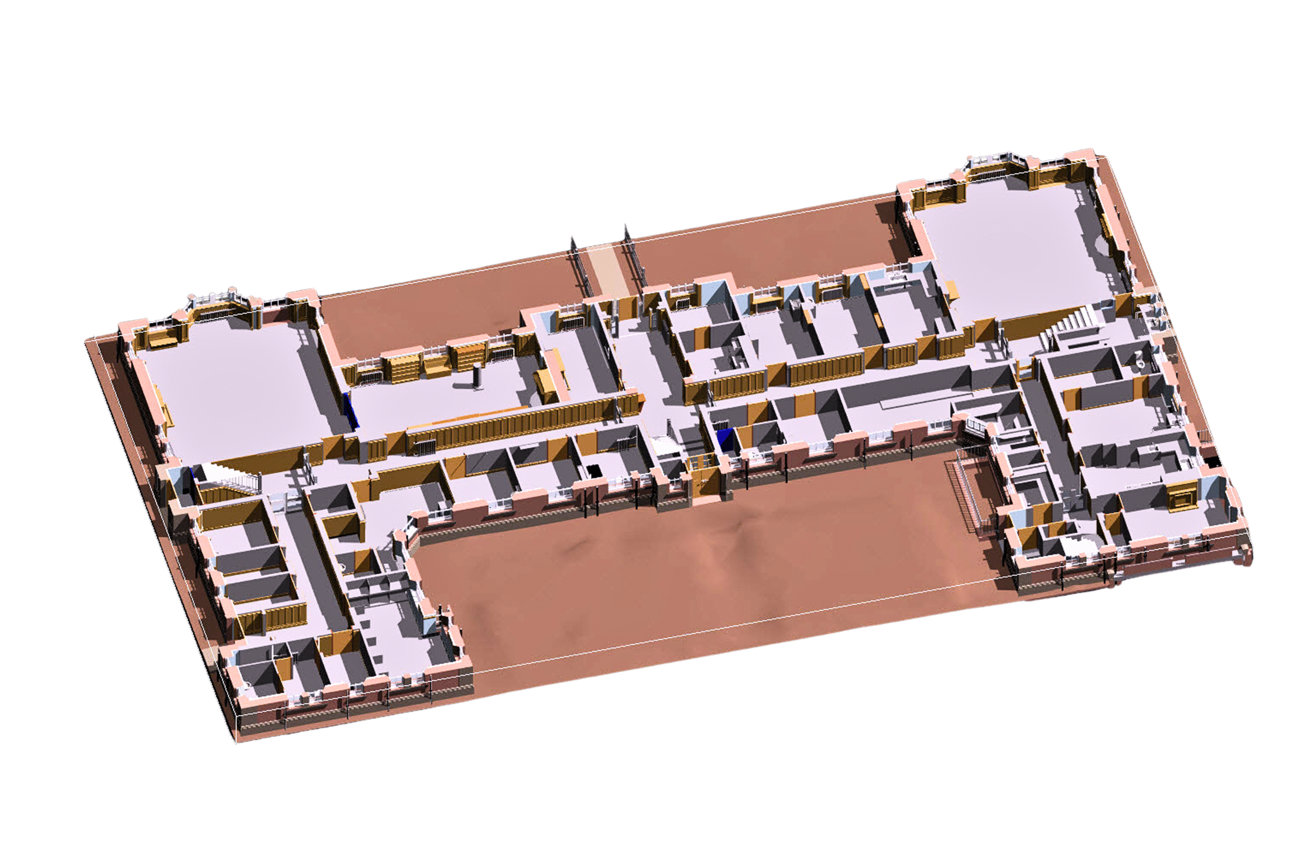
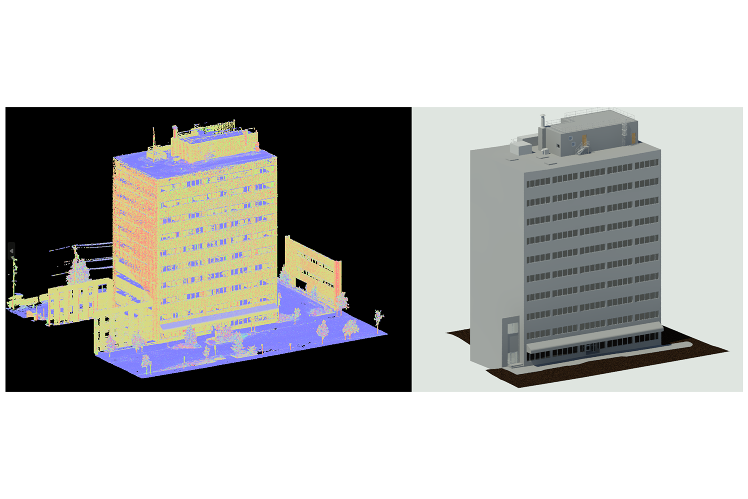
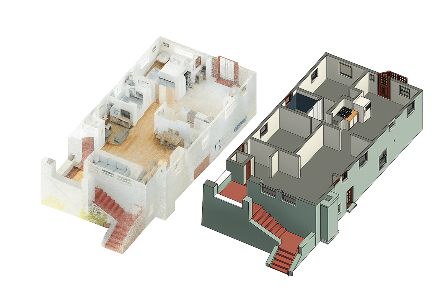
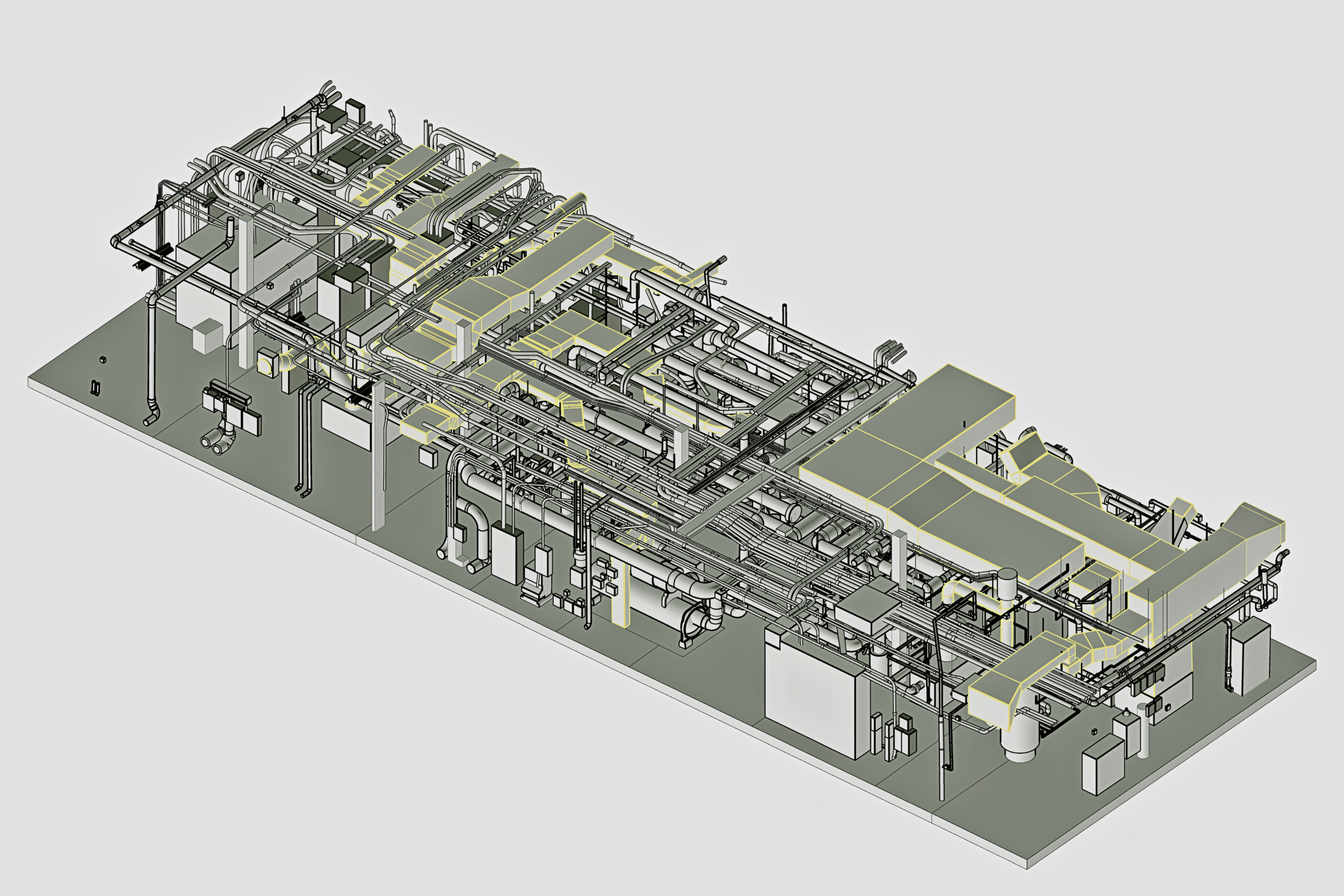
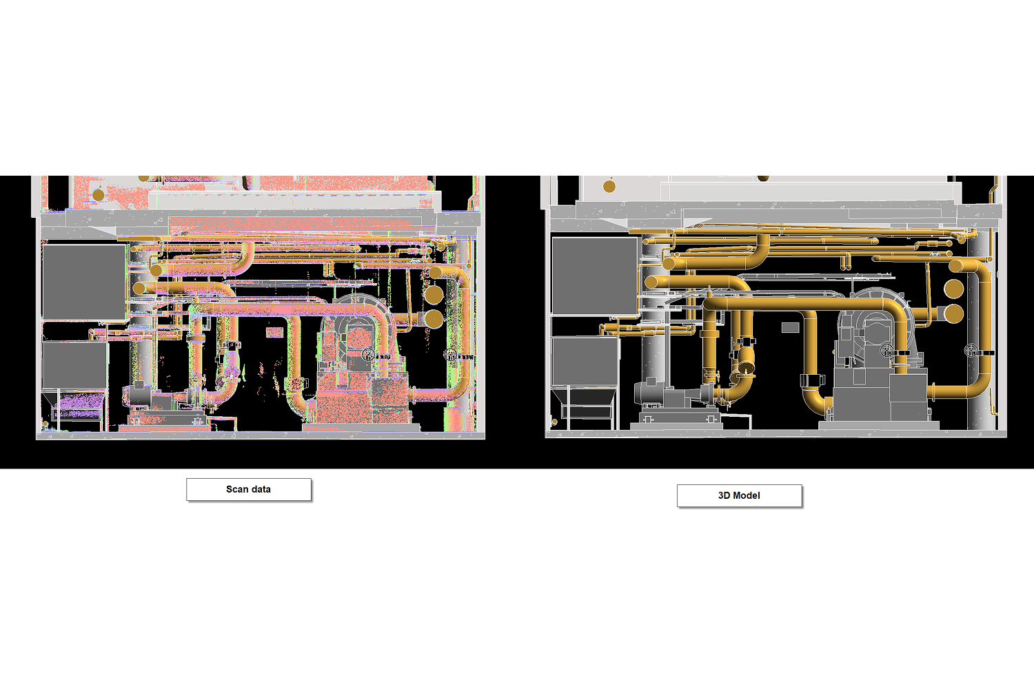
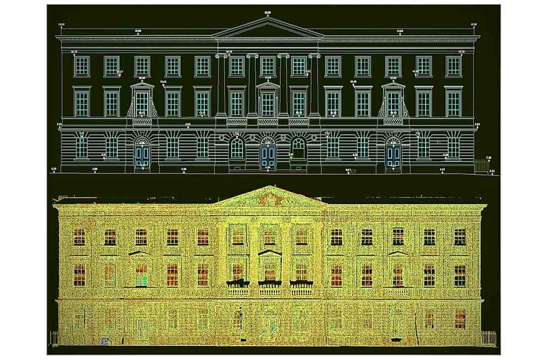
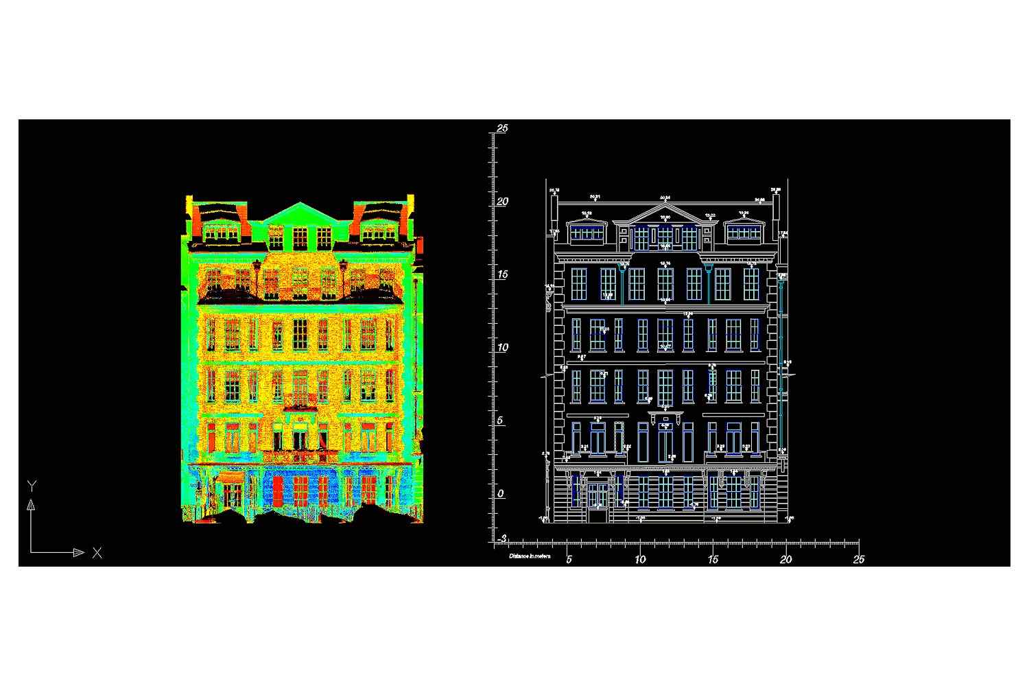
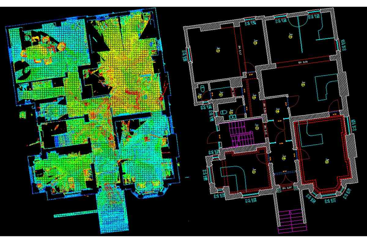
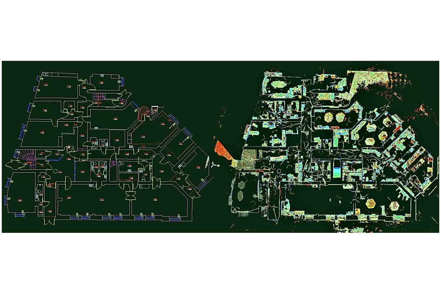
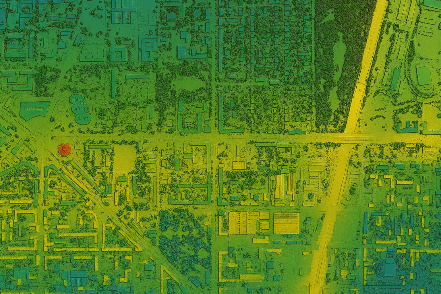
A Topography Survey provides a detailed representation of the natural and man-made features of a site, including ground levels, boundaries, utilities, and structures. This information is crucial for design, construction, and land development projects.
Capture contours, spot levels, and terrain features
Identify slopes, drainage, and surface conditions
Reliable base maps for design and planning approvals